WNI
Matahora Airport
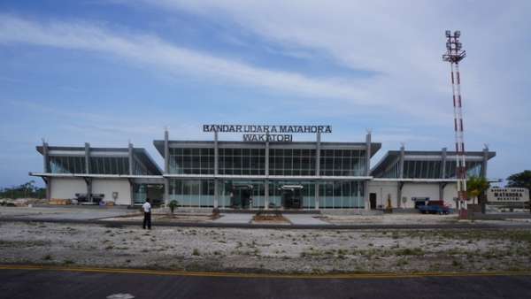

Matahora Airport (IATA: WNI, ICAO: WAWD) is a medium airport in Wangi-wangi Island, Sulawesi Tenggara (Southeast Sulawesi), Indonesia. It has one runway, 2,121 m (6,959 ft) long, asphalt.
Runways & airfield
Schematic · N · © OpenStreetMap04/22
LENGTH2,121 m6,959 ftWIDTH—SURFACEAsphalt
Routes
2 destinations · 1 countryMost destinationsFlyJaya 1TransNusa Air Services 1
Straight lines are great circles; rings mark true distance from WNI. From the Wikipedia article “Matahora Airport” (revision of 11 Aug 2026), CC BY-SA 4.0.
Records & rankings
Ranked among 48,011 open airports · world · region · countryScale: share of airports ranked below, best on the right · ties shown as = and a band · passengers are each airport’s latest year on record