PR-0002
Fort Allen Airport
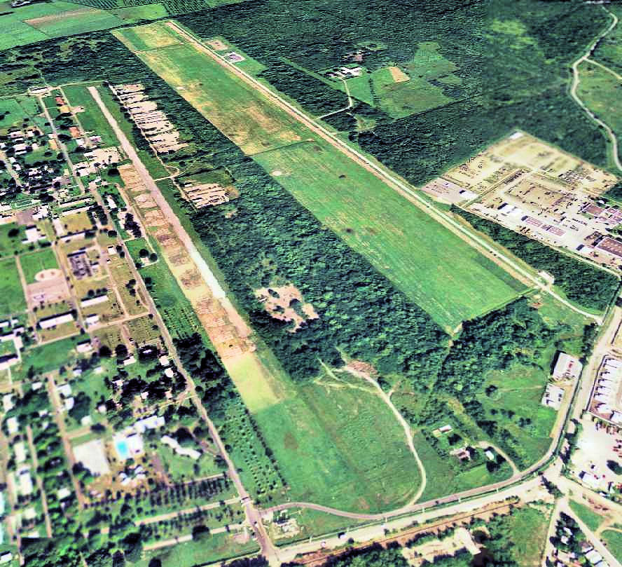

Fort Allen Airport is a small airport in Potala Pastillo, Puerto Rico. It closed in 1944. It is operated by United States Army Air Forces.
Timeline
1 event · 1944–19441944
ClosedFort Allen Airport closes.
From WikidataEvery airfield, 1903–2026
Runways & airfield
Schematic · N · © OpenStreetMapRecords & rankings
Ranked among 48,011 open airports · world · region · countryScale: share of airports ranked below, best on the right · ties shown as = and a band · passengers are each airport’s latest year on record